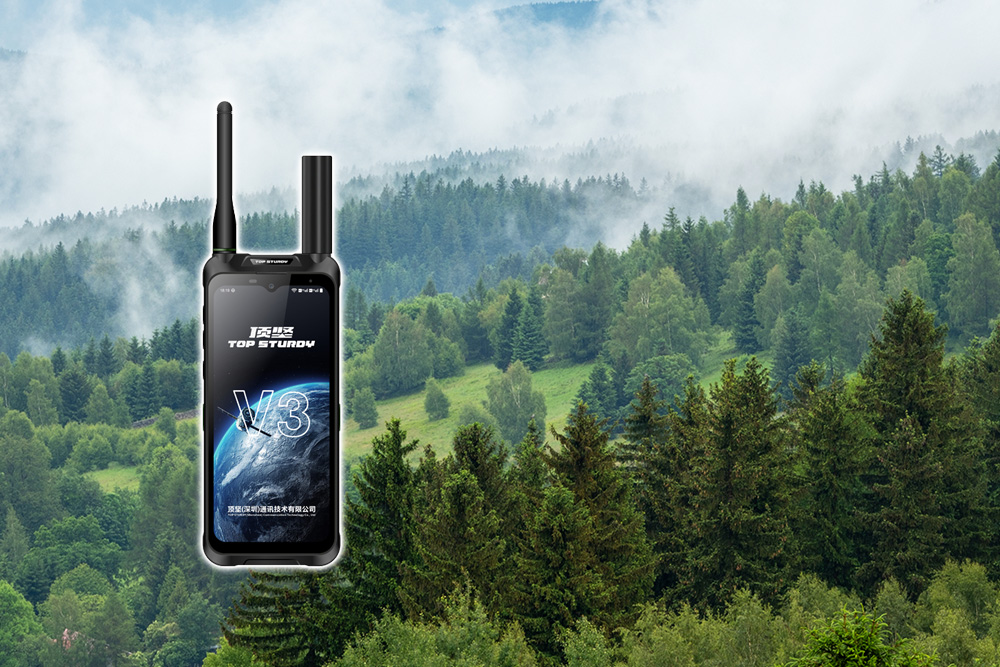
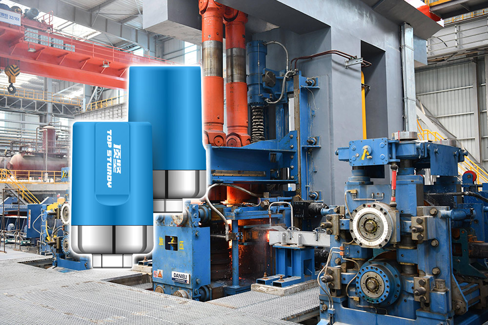
Dingjian Tiantong satellite phone uses the three-mode fusion technology of "Tiantong satellite communication + Beidou short message + RTK high-precision positioning" to build an integrated emergency system of "communication-positioning-rescue" at the disaster site, achieving real-time interconnection of global command and millisecond-level response for precise rescue, and becoming a life beacon for emergency rescue. The following analysis is carried out from the three dimensions of technological breakthroughs, functional implementation, and practical cases.:
1. Technological breakthrough: Three-mode integration breaks communication and positioning bottlenecks
Tiantong Satellite Communications: Penetrating “communication islands” in disaster areas”
Global coverage: Relying on the Tiantong-1 satellite system, the orbital altitude reaches 20,000 kilometers, covering the entire territory of China and surrounding waters, the Middle East, Africa and other regions. It can still work stably even in extreme disaster areas around the world (such as polar regions and deserts).
Dual mode switching: By default, the device gives priority to connecting to terrestrial 5G/4G networks, and automatically switches to satellite mode when the terrestrial base station is damaged to achieve "seamless communication".
Low power consumption design: The energy consumption of Beidou short message transmission is only 1/10 of that of satellite voice calls, which extends the battery life of the equipment and is suitable for long-term emergency use.
Beidou short message: The ultimate solution to the “silent cry for help” in disaster areas
Silent help: It supports sending short text messages and location coordinates within 1,000 words. Disaster-stricken people can silently seek help through "SOS+Coordinates" to avoid secondary injuries caused by exposing their location. For example, border guards can quickly trigger a distress signal when encountering stowaways or wild animals.
Disaster reporting: Grassroots rescuers use short messages to upload key information such as the disaster area, casualties, and road damage to provide decision-making basis for the rear headquarters.
Family contact: When the Internet is disconnected for a long time, people in disaster areas can send "safe" messages to their families through short messages to relieve anxiety.
RTK high-precision positioning: Centimeter-level accuracy supports precise rescue
Dynamic centimeter-level positioning: Combined with the Beidou-3 global satellite navigation system, it can achieve dynamic centimeter-level and static millimeter-level positioning accuracy to meet high-precision needs such as terrain surveying and engineering stakeout.
Tracking and electronic fence: Record the movements of patrol personnel and upload them to the cloud via satellite after the network is disconnected. ; The command center can set safe area boundaries and automatically trigger alarms and send location information when personnel or equipment deviate.
3D meteorological field modeling: Through dual-mode communication (satellite + ground network) and RTK positioning, a three-dimensional meteorological field model is constructed to improve the spatial and temporal resolution of data and provide scientific basis for disaster early warning.
2. Function realization: Life beacon for full-process rescue
Global command: From "information island" to "real-time interconnection"”
Voice + SMS + data three-channel communication: Supports multi-mode communications such as satellite voice calls, Beidou short messages, 4G/5G cellular networks, and shortwave/ultra-shortwave radio stations to ensure "continuous offline" communications in extreme environments.
Cloud collaborative command: Through the "cloud-network-end" command and control system, real-time data (such as location, images, weather) from the disaster area are transmitted back to the command center, realizing dynamic allocation of resources and scientific decision-making.
Precision rescue: From "passive waiting" to "active positioning"”
One-click SOS for help: Press and hold a specific button for 3 seconds, and the device will automatically send a distress signal containing the user's location and identity information to the rescue platform, and start continuous positioning tracking until the rescue is successful.
Noise reduction technology ensures clear calls: In noisy environments (such as earthquake ruins and flood sites), intelligent noise reduction algorithms are used to ensure the quality of voice communication and improve command efficiency.
Multi-device collaboration: Supports DMR digital intercom module to realize group calls, individual calls and emergency calls, meeting the real-time command needs of surveying and mapping teams and rescue teams in complex environments.
Adaptation to extreme environments: From "fragile link" to "tough lifeline"”
Anti-interference design: It adopts advanced signal processing algorithms and anti-interference technology to effectively resist strong electromagnetic interference and rain/snow attenuation effects.
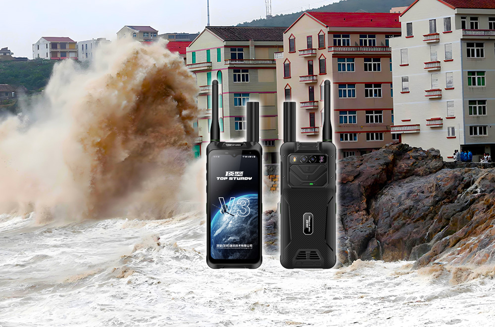
Three defense characteristics: The equipment shell has been strengthened to be waterproof, dustproof, and anti-fall, and can work stably in extreme temperatures from -40°C to 80°C.
Rapid deployment: Satellite-assisted star search technology assists positioning through ground base stations and completes satellite connection within 30 seconds, significantly shortening emergency response time.
Dingjian Tiantong satellite phone uses technological innovation as its edge to cut off the communication constraints at the disaster site and build an integrated emergency system of "communication-positioning-help". It is not only a cold communication tool, but also a "guardian of life" for people in disaster areas, a "smart eye" for rescue forces, and a "modern benchmark" for emergency management systems.