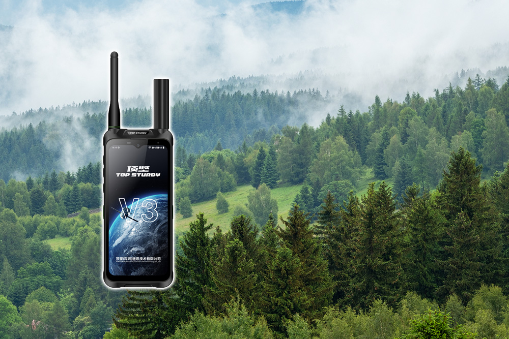
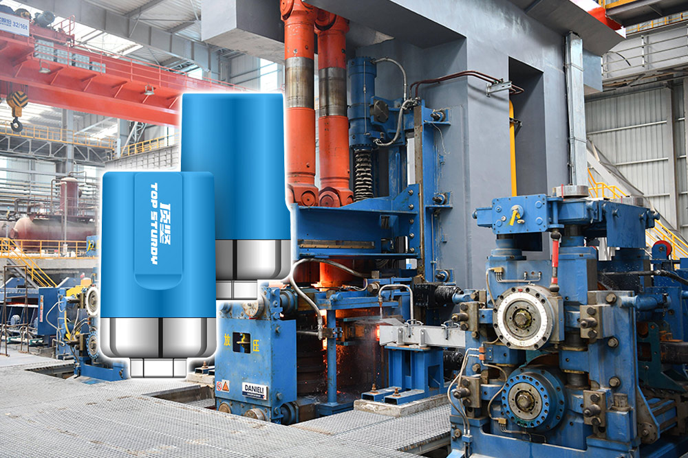
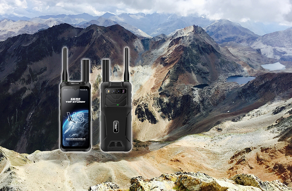
Dingjian's high-precision Tiantong satellite phone breaks through the bottleneck of underground space communication and positioning through the three-mode fusion technology of "Tiantong satellite communication + Beidou short message + RTK high-precision positioning", combined with multi-system collaboration, industrial-grade hardware design and intelligent algorithm optimization, and becomes a powerful tool for geological exploration. Its core breakthroughs are reflected in the following aspects:
1. Communication breakthrough: Satellite + short message builds a signal that never disappears
Tiantong Satellite Communications
Relying on China's independent Tiantong-1 satellite system, the equipment automatically switches to satellite mode when the ground network is paralyzed (such as underground mines, deep mountain canyons), realizing three-channel communication of voice, SMS, and data.
Beidou short message two-way communication
Supports sending short text messages and location coordinates within 1,000 words in an environment without a public network, enabling silent rescue and disaster reporting. During underground exploration, if there is a landslide or equipment failure, explorers can send SOS+ coordinates to the rescue platform through short messages to avoid secondary injuries caused by exposed locations.
Low power consumption and fast response
The energy consumption of short message transmission is only 1/10 of that of satellite voice calls, extending the battery life of the device.; Satellite-assisted star search technology shortens the time to first fix (TTFF) from 30 seconds to less than 5 seconds, significantly improving emergency response efficiency.
2. Positioning breakthrough: RTK+multi-mode fusion achieves centimeter-level accuracy
RTK high-precision positioning
Combining Beidou/GPS dual-mode positioning and real-time dynamic differential positioning (RTK) technology, the equipment can still achieve dynamic centimeter-level and static millimeter-level positioning accuracy in complex terrain. For example:
Geological disaster emergency mapping: Quickly transmit high-precision terrain data in disaster areas to assist rescue route planning ;
Confirmation of land rights in mountainous areas: Accurately delineate plot boundaries to reduce disputes ;
underground mine exploration: Mark the location of mineral veins, measure tunnel deformation, and provide early warning of potential safety hazards.
Multi-system collaborative anti-interference
With the single Beidou + RTK positioning satellite navigation system, even if the signal of a single system is blocked (such as underground space obstruction), other systems can still provide positioning support to ensure data reliability.
Tracking and electronic fence
The equipment can record the movement trajectory of exploration personnel and upload it to the cloud via satellite after the network is disconnected.; The command center can set the boundaries of the safe area, and when personnel or equipment deviate, an alarm will automatically be triggered and location information will be sent to strengthen the safety management of field operations.
3. Adaptability to extreme environments: Industrial-grade design ensures reliable operation
Hardware durability
Protection level: IP68 dustproof and waterproof standard, can withstand heavy rain and sand erosion ;
working temperature: Covering -40℃ to +80℃, adaptable to high temperature, extreme cold and other harsh climates ;
Impact resistance: IK10 standard, can withstand 10J energy impact, ensuring that the device remains intact in drops and collisions.
Long battery life and fast charging
Large capacity battery: Supports satellite communication mode for continuous use for more than 10 hours ;
Extremely fast charging: Adopting "low-power chip + intelligent sleep" technology, the standby time can reach 72 hours, meeting the needs of continuous operations such as offshore fishing vessels and field exploration.
Intelligent algorithm optimization
AI intelligent noise reduction: Filter out environmental interference such as wind, rain, and mechanical noise to ensure clear calls in noisy environments ;
Anti-interference design: It adopts military-grade anti-interference algorithm to effectively resist strong electromagnetic interference and rain/snow attenuation effects to ensure the stability of positioning signals.
4. Practical cases: Core Values in Geological Exploration
Disaster emergency mapping
In disasters such as earthquakes and floods, the equipment is quickly deployed to the disaster area and transmits high-precision terrain data in real time to assist the rescue team in planning the optimal route. For example, in geological disaster emergency surveying and mapping, RTK positioning data is transmitted back in real time through satellite links, realizing the integration of "location + communication" to help repair post-disaster infrastructure.
Mineral resource exploration
In signal-free areas such as uninhabited areas and mining areas, the equipment realizes autonomous communication through satellite communications, and combines RTK technology to achieve high-precision geological point marking and sample collection and positioning. For example, in forest resource surveys, operators can quickly mark tree locations, diameters at breast height and other information to generate a three-dimensional forest phase map.
Engineering safety monitoring
Conduct regular deformation monitoring of bridges, tunnels, slopes and other projects to provide early warning of potential safety hazards. For example, in the ecological monitoring of the Yangtze River Basin, surveyors use equipment to complete wetland boundary mapping, and the data is transmitted back through Beidou short messages and Tiantong satellites to support the delineation of ecological protection red lines.
For geological prospectors, the Dingjian high-precision Tiantong satellite handheld terminal is not only a tool, but also a silent comrade. In extremely cold mines at minus 30 degrees Celsius, in deep mountain canyons with heavy rains, when the walkie-talkie loses signal and the mobile phone shows no service, it can still convey the three words of my safety, or send back a set of life-saving coordinates.
Dingjian focuses on the R&D, production and sales of three-proof communication products such as single Beidou handheld terminals, Beidou short message terminals, RTK high-precision positioning terminals, single Beidou explosion-proof intercom terminals, explosion-proof mobile phones, anti-confidential mobile phones, 5G single Beidou law enforcement recorders, satellite communication phones, etc. It supports customized Hongmeng systems, secondary development, and provides one-stop communication equipment application solutions.