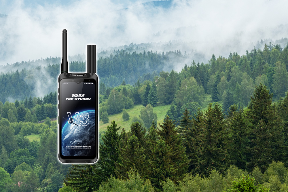
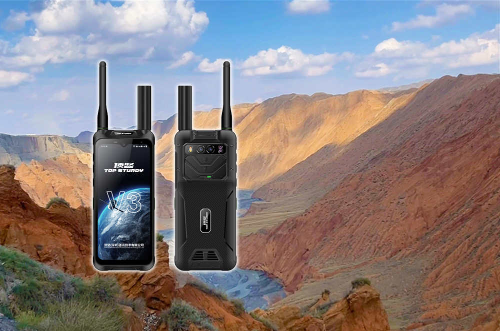
Dingjian Tiantong satellite phone reconstructs the boundaries of efficiency and safety in outdoor surveying and mapping operations through the integration of "communication-positioning-distress" integrated technology and extreme environment adaptability design, which is specifically reflected in the following dimensions:
Efficiency refactoring: Improvement of operational efficiency throughout the entire process
Air, space and ground integrated communication guarantee
Relying on the Tiantong-1 satellite system to achieve global coverage (all of China and surrounding waters, the Middle East, Africa, etc.), it supports seamless switching of satellite + ground 5G/4G dual-mode. When the ground network is interrupted, it automatically switches to satellite mode within 30 seconds to ensure continuous transmission of voice, text messages, and data in three channels. For example, in uninhabited areas, mines, deep mountain canyons and other signal-free areas, the equipment can stably return high-precision surveying and mapping data to avoid interruption of operations.
The Beidou short message function supports sending short texts within 1,000 words and location coordinates in an environment without a public network, enabling silent rescue, disaster reporting and family contact. The low-power design (energy consumption is only 1/10 of satellite voice calls) extends the device life to more than 10 hours to meet the needs of continuous operations.
Centimeter-level high-precision positioning and collaborative operations
Integrated RTK (real-time dynamic differential positioning) technology, combined with Beidou/GPS dual-mode positioning and four systems (Beidou, GPS, GLONASS, Galileo) collaboration, to achieve dynamic centimeter-level and static millimeter-level positioning accuracy. In geological disaster emergency surveying and mapping, high-precision terrain data in disaster areas can be quickly transmitted back to support rescue route planning. ; In forest resource surveys, information such as tree location and diameter at breast height can be accurately marked to generate a three-dimensional forest phase map.
The DMR digital intercom module supports group calls, individual calls and emergency calls, and cooperates with the cloud collaboration platform to achieve real-time command and data sharing for multiple people, improving operating efficiency by 30%-50%.
Intelligent algorithms and low-power optimization
AI intelligent noise reduction technology filters out environmental interference such as wind, rain, and mechanical noise to ensure clear calls in noisy environments; The anti-interference design resists strong electromagnetic interference and rain/snow attenuation effects to ensure stable positioning signals.
Dynamic power control reduces satellite communication power consumption by 30%, increases the data transmission rate to 384kbps, and supports high-bandwidth applications such as video calls and telemedicine.
Safe refactoring: Whole chain risk prevention and control
Emergency help and life protection
One-click SOS function: Press and hold for 3 seconds to automatically send a distress signal containing the user's location and identity information to the rescue platform, and start continuous positioning tracking until the rescue is successful. In disasters such as earthquakes and floods, victims can silently send "SOS+ coordinates" through Beidou short messages to avoid secondary damage caused by exposure of their location.
Tracking and electronic fence: The device records the movement trajectory and uploads it to the cloud via satellite after the network is disconnected. ; The command center can set the boundaries of the safe area, and when personnel or equipment deviate, an alarm will automatically be triggered and location information will be sent to prevent personnel from getting lost.
Extreme environment adaptability design
The industrial-grade three-proof design (IP68 dustproof and waterproof, IK10 impact resistance) ensures that the equipment operates stably in extreme environments such as heavy rain, sediment, high temperatures (-40°C to +70°C), and high altitudes. The large-capacity battery (5250mAh to 8000mAh) supports fast charging and has a standby time of up to 72 hours, meeting the needs of continuous operations such as offshore fishing vessels and field exploration.
Satellite-assisted star search technology shortens the time to first fix (TTFF) from 30 seconds of traditional GPS to less than 5 seconds, gaining valuable time for emergency calls.
Data security and autonomy and control
The autonomous and controllable Beidou and Tiantong satellite systems are used to get rid of dependence on foreign satellites, ensure safe and controllable communication and positioning data, and meet the modernization requirements of the national emergency management system. In confidential scenarios, it supports customized Hongmeng systems and secondary development, providing one-stop communication equipment application solutions.
Through technology integration and extreme environment adaptability design, Dingjian Tiantong satellite phone not only improves the efficiency and data reliability of surveying and mapping operations, but also builds a full-chain safety protection system from "passive waiting for rescue" to "active and precise call for help", becoming an iconic tool for the modernization of the emergency management system.